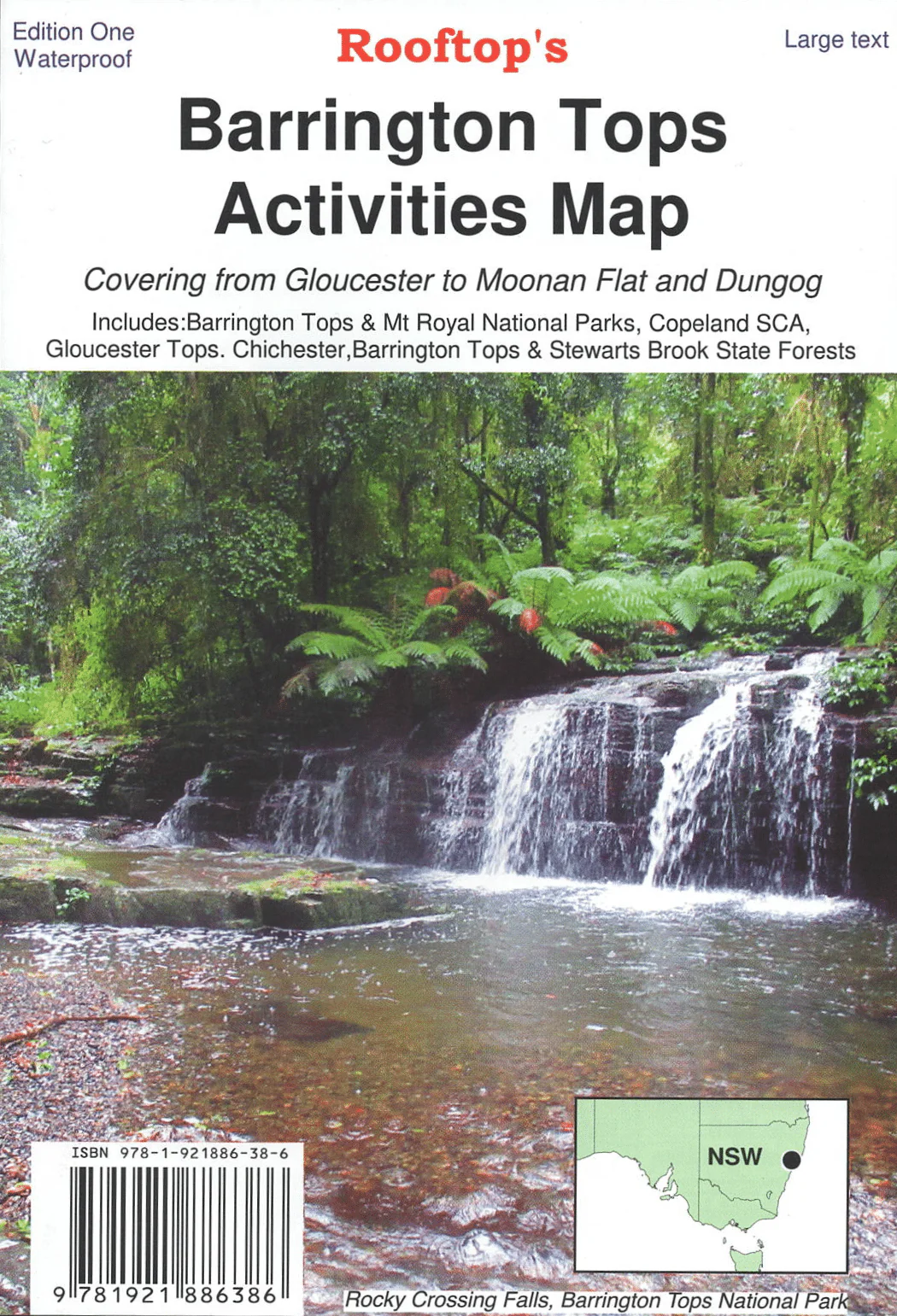
Barrington Tops Activities Map
Prepare for an unforgettable adventure in the Barrington Tops region with Rooftop Map's Barrington Top Activities Map.
This map, featuring a 1:50,000 scale, offers comprehensive coverage of the region, ensuring you don't miss a single trail or landmark. There's also a bonus 1:25,000 scale map detailing Gloucester Tops' intricate walking tracks, making exploration a breeze. Printed on durable waterproof paper this is a map that will last.
But this map is more than just navigation; it's your guide to the area's high-country huts, sharing their historical significance and enriching your journey with a deeper connection to the land.
Rest assured, every park, reserve, state forest, and vital pathway has been accurately plotted using GPS technology and field checked. Whether you're a seasoned hiker, nature enthusiast, or simply seeking a serene escape, Rooftop Map's Barrington Top Activities Map is your essential companion. Let it lead you through this remarkable region, where every step brings a new adventure and each trail unveils nature's beauty.
Key Features
- Detailed 4WD tracks
- National parks
- Camping areas
- Field surveyed roads & tracks
- Waterproof paper
Key Specifications
Edition:1st
Publication Date:01/09/23
Scale:1:50,000
Folded size (WxHxD):140mm x 203mm x 4mm
Flat size (WxH):700mm x 1000mm
Weight:0.11kgs
Product Information
Product Information
Shipping & Returns
Shipping & Returns
Description
Prepare for an unforgettable adventure in the Barrington Tops region with Rooftop Map's Barrington Top Activities Map.
This map, featuring a 1:50,000 scale, offers comprehensive coverage of the region, ensuring you don't miss a single trail or landmark. There's also a bonus 1:25,000 scale map detailing Gloucester Tops' intricate walking tracks, making exploration a breeze. Printed on durable waterproof paper this is a map that will last.
But this map is more than just navigation; it's your guide to the area's high-country huts, sharing their historical significance and enriching your journey with a deeper connection to the land.
Rest assured, every park, reserve, state forest, and vital pathway has been accurately plotted using GPS technology and field checked. Whether you're a seasoned hiker, nature enthusiast, or simply seeking a serene escape, Rooftop Map's Barrington Top Activities Map is your essential companion. Let it lead you through this remarkable region, where every step brings a new adventure and each trail unveils nature's beauty.
Key Features
- Detailed 4WD tracks
- National parks
- Camping areas
- Field surveyed roads & tracks
- Waterproof paper
Key Specifications
Edition:1st
Publication Date:01/09/23
Scale:1:50,000
Folded size (WxHxD):140mm x 203mm x 4mm
Flat size (WxH):700mm x 1000mm
Weight:0.11kgs