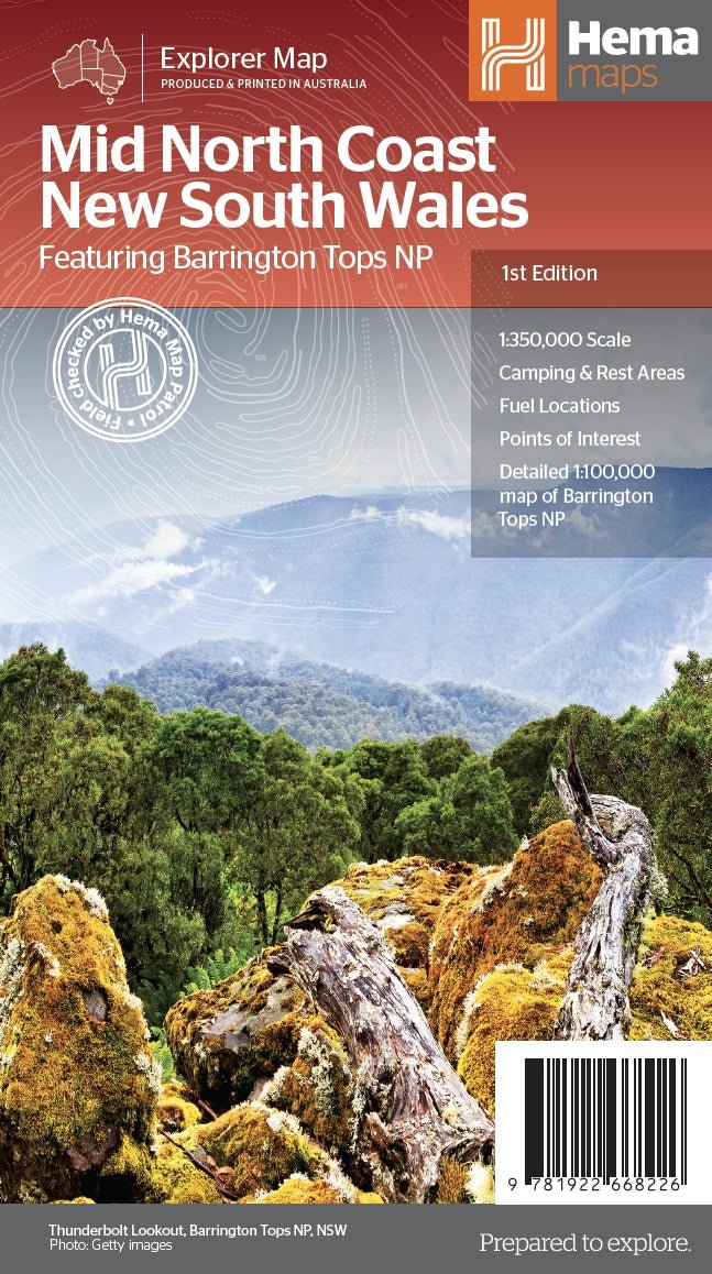
Mid North Coast New South Wales Map
A regional map of the Mid North Coast of New South Wales (1:350,000) that ranges from Northern Newcastle, west to Mudgee, as far as Gunnedah in the North and East to Port Macquarie. Covered regions in the map include; Gunnedah, Tamworth, Mudgee, Port Macquarie, Maitland, Kempsey, Taree, and Forster. Also includes the following National Parks; Barrington Tops NP, Oxley Wild Rivers NP, Hat Head NP, Carrai NP, Werrikimbe NP, Cottan-Bimbang NP, Mummel Gulf NP, Nowendoc NP, Curracabundi NP, Wollemi NP, Goulburn River NP, Yengo NP, and Towarri NP. On the opposite side is a detailed inset map of the Barrington Tops National Park (at 1:100,000 scale) plus extensive information on numerous regions, including visitor, historical and background information.
Key Features
- Comprehensive regional map of the Mid North Coast of New South Wales
- Camping & rest areas
- Fuel locations
- Points of Interest
- Detailed map of Barrington Tops National Park (at 1:100,000 scale)
- Detailed National Park Listing with facilities
- Tourist Information Centres
Key Specifications
Edition: 1th
Publication Date: 1/09/2022
Scale: 1:350,000
Folded size (WxHxD): 140mm x 250mm x 3mm
Flat size (WxH): 700mm x 1000mm
Weight: 0.09kgs
Product Information
Product Information
Shipping & Returns
Shipping & Returns
Description
A regional map of the Mid North Coast of New South Wales (1:350,000) that ranges from Northern Newcastle, west to Mudgee, as far as Gunnedah in the North and East to Port Macquarie. Covered regions in the map include; Gunnedah, Tamworth, Mudgee, Port Macquarie, Maitland, Kempsey, Taree, and Forster. Also includes the following National Parks; Barrington Tops NP, Oxley Wild Rivers NP, Hat Head NP, Carrai NP, Werrikimbe NP, Cottan-Bimbang NP, Mummel Gulf NP, Nowendoc NP, Curracabundi NP, Wollemi NP, Goulburn River NP, Yengo NP, and Towarri NP. On the opposite side is a detailed inset map of the Barrington Tops National Park (at 1:100,000 scale) plus extensive information on numerous regions, including visitor, historical and background information.
Key Features
- Comprehensive regional map of the Mid North Coast of New South Wales
- Camping & rest areas
- Fuel locations
- Points of Interest
- Detailed map of Barrington Tops National Park (at 1:100,000 scale)
- Detailed National Park Listing with facilities
- Tourist Information Centres
Key Specifications
Edition: 1th
Publication Date: 1/09/2022
Scale: 1:350,000
Folded size (WxHxD): 140mm x 250mm x 3mm
Flat size (WxH): 700mm x 1000mm
Weight: 0.09kgs