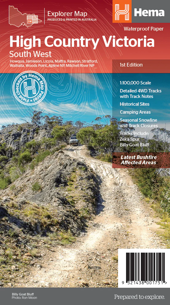
The Victorian High Country - South Western Map - OE
This map is part of Hema's new Victorian High Country Map Series and covers the Southern Ranges Area. it overlooks Baw Baw, Dargo, Bairnsdale, Buchan, Orbost, Lakes Entrance, Metung, Swifts Creek, Wentworth State Forest and the surrounding region. Printed on durable waterproof paper, this map features Hema's iconic mapping and extensive points of interest. Featuring roads and 4WD tracks field-checked by the Hema Map Patrol for superior accuracy.
It combines Hema’s entire database of roads and 4WD tracks with touring points of interest and topographic information. Also included are seasonal track closures, camping areas, old townsites, huts, accommodation and distances. It is a premier destination for four-wheel driving, hiking and outdoor recreation of all sorts.
Key Features
- Detailed 4WD tracks with notes
- Historical sites & old townsites
- Camping areas & huts
- Road distances
- Seasonal snowline and track closures
- Accommodation
- Tracks include;Zeka Spur, King Billy & Billy Goat Bluff
- Latest bushfire affected areas.
Key Specifications
Edition: 1st
Publication Date: 15/10/20
Scale: 1:100,000
Folded size (WxHxD): 140mm x 250mm x 3mm
Flat size (WxH): 700mm x 1000mm
Weight: 0.09kgs
Product Information
Product Information
Shipping & Returns
Shipping & Returns
Description
This map is part of Hema's new Victorian High Country Map Series and covers the Southern Ranges Area. it overlooks Baw Baw, Dargo, Bairnsdale, Buchan, Orbost, Lakes Entrance, Metung, Swifts Creek, Wentworth State Forest and the surrounding region. Printed on durable waterproof paper, this map features Hema's iconic mapping and extensive points of interest. Featuring roads and 4WD tracks field-checked by the Hema Map Patrol for superior accuracy.
It combines Hema’s entire database of roads and 4WD tracks with touring points of interest and topographic information. Also included are seasonal track closures, camping areas, old townsites, huts, accommodation and distances. It is a premier destination for four-wheel driving, hiking and outdoor recreation of all sorts.
Key Features
- Detailed 4WD tracks with notes
- Historical sites & old townsites
- Camping areas & huts
- Road distances
- Seasonal snowline and track closures
- Accommodation
- Tracks include;Zeka Spur, King Billy & Billy Goat Bluff
- Latest bushfire affected areas.
Key Specifications
Edition: 1st
Publication Date: 15/10/20
Scale: 1:100,000
Folded size (WxHxD): 140mm x 250mm x 3mm
Flat size (WxH): 700mm x 1000mm
Weight: 0.09kgs